Rogers Data VFR Charts
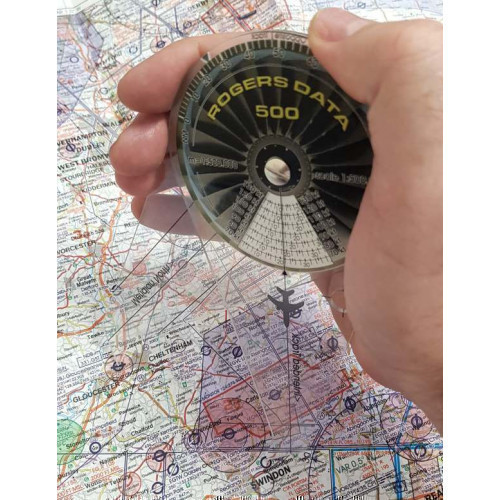
Rogers Data Charts cover almost every country in Europe. These high resolution ICAO VFR aeronautical charts provide a very detailed description of the airspace in each country with highly sophisticated topographic terrain. All Rogers Data charts are updated annually with the latest aeronautical information from Civil Aviation Authority AIP's and supplements as well as taking into account the relevant regulations of the ICAO Annex (Aeronautical Charts) and European Commission Regulations.
Filter By Category
- Flight Guides
- CAA 1:250 000 Charts
- CAA 1:500 000 Charts
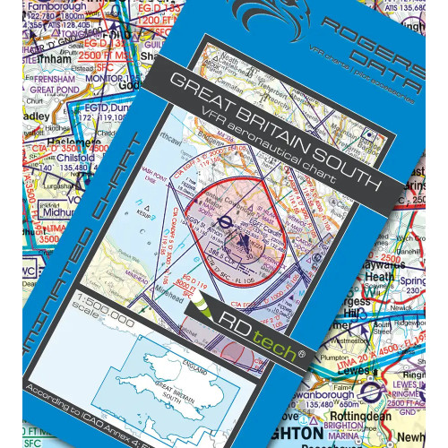
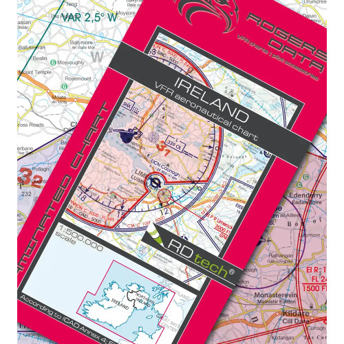
- Rogers Data VFR Charts
- European VFR Charts
- Jeppesen IFR Charts
- London Heli-Route Chart
- Pilots Atlas Europe/USA
- Chart Accessories

Code: RD5006
£26.75 Inc VAT (£26.75 Ex VAT)

Code: RD5005
£26.75 Inc VAT (£26.75 Ex VAT)


Code: RD5007
£26.75 Inc VAT (£26.75 Ex VAT)


Code: RD5015
£22.27 Inc VAT (£22.27 Ex VAT)

Code: RD5009
£26.75 Inc VAT (£26.75 Ex VAT)


Code: RD5034
£26.75 Inc VAT (£26.75 Ex VAT)

Code: RD5033
£26.75 Inc VAT (£26.75 Ex VAT)

Code: RD5016
£26.75 Inc VAT (£26.75 Ex VAT)

Code: RD5017
£26.75 Inc VAT (£26.75 Ex VAT)

Code: RD5018
£26.75 Inc VAT (£26.75 Ex VAT)

Code: RD5019
£26.75 Inc VAT (£26.75 Ex VAT)

Code: RD5003
£26.75 Inc VAT (£26.75 Ex VAT)

Code: RD5002
£26.75 Inc VAT (£26.75 Ex VAT)

Code: RD5021
£26.75 Inc VAT (£26.75 Ex VAT)

Code: RD5020
£26.75 Inc VAT (£26.75 Ex VAT)
Code: RD5022
£26.75 Inc VAT (£26.75 Ex VAT)


Code: RD5032
£22.27 Inc VAT (£22.27 Ex VAT)

Code: RD5014
£22.27 Inc VAT (£22.27 Ex VAT)

Code: RD5029
£26.75 Inc VAT (£26.75 Ex VAT)

Code: RD5030
£22.27 Inc VAT (£22.27 Ex VAT)


Code: RD5031
£22.27 Inc VAT (£22.27 Ex VAT)


Code: RD5024
£26.75 Inc VAT (£26.75 Ex VAT)

Code: RD5025
£26.75 Inc VAT (£26.75 Ex VAT)

Code: RD5026
£26.75 Inc VAT (£26.75 Ex VAT)

Code: RD5027
£26.75 Inc VAT (£26.75 Ex VAT)

Code: RD5011
£22.27 Inc VAT (£22.27 Ex VAT)