Southern England 1:500:000 - Pre order - Edition 52
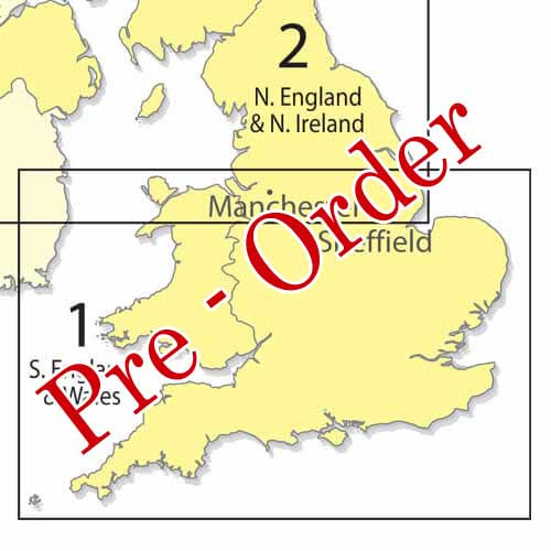
Southern England 1:500:000 - Pre order - Edition 52
Edition 52 of the CAA 1:500 000 Southern England & Wales chart.
Due for Release 19th March 2026
Rolled or Folded Version Available
Please note: Frequency cards will not be distributed with the charts. Please download them from here.
CAA 1:500 000 VFR Charts generally do not show obstacles that are less than 300 ft above ground level and contours lower than 500 ft above mean sea level. All three charts are supplied laminated, which allows for the use of chinagraph markers and increases the durability of the charts.
Check The Chart Edition Release Dates
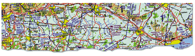
Produced as part of the CAA chart series, the Southern England 1:500 000 chart serves the requirements of VFR in-flight navigation for low speed, short or medium range operations at low and intermediate altitudes. Airspace information up to FL195 and obstacles above 300ft AGL are depicted and meets the ICAO standards and recommended practices as defined in ICAO Annex 4. In addition to aeronautical information, the charts provide hydrographic, topographic, cultural and other visual features compatible with legibility at the scale of the chart this information is supplied by GB Ordnance Survey with terrain contours at intervals above 500ft AMSL depicted
You will find a printable version of the Legend here.