1:500 000 Navigation Plotter - Rogers Data
Code : RD5036
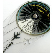
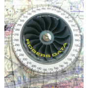
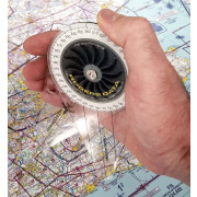
Rogers Data Navigation Plotter 500 for charts with a scale of 1:500,000.
Simply place the two points on the chart and read distance and flight-time directly from the plotter.
Navigation compass 500 for path-time measurement
For charts on a scale of 1:500,000
Flight time distance and heading computer in single device
Compass template and ruler
- Works on all 1:500,000 charts.
- The patent pending Rogers Data © Navigation Plotter is an easy to use solution for navigation.
- Chart plotter, time-speed-distance computer, ruler and navigation compass template in a single device.
- Path-time measurement for charts on the scale of 1:500,000.
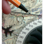
- Distance picked up with the tips in order to read the distance between two points on the chart.
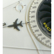
- To determine the heading use the back of the Navigation compass.
- Required flight time between two points can be read in minutes on the mounted concentric compass scale.
- Determination of position on 1:500,000 charts.
- Headings with associated opposite course can be determined on the back side of the Navigation compass.
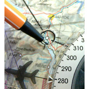
- Rogers Data © Navigation compass can be used as ruler along the lateral sides and includes a circle template.
- Using the circle template on the Navigation compass permits highlighting of navigation points.


