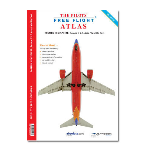
ED4 The Pilots' Atlas -Europe/SE ASIA/ME
ED4 The Pilots' Atlas -Europe/SE ASIA/ME
The Pilots Atlas has full-color information and includes Europe, Middle East, Asia and South Africa. All of the contents has been up-dated. In addition, youll find overview/flight maps containing valuable information.
Over 4.000 airports, shown by ICAO-code and IATA-code. Maps with scale 1:2.000.000, and 1:4.000.000 for Asia. Waypoints, VOR/DME, NDB's and special use airspace are included, plus weather frequencies, points of interest, landmarks and an airport directory with ICAO/IATA codes. Airports are colour coded by runway length and surface. International and Regional aerodromes are coded by symbol shape. Pilots now have the ability to point out objects on the ground or know immediately where they are in relation to surrounding airports or points of interest.
Some highlights of Pilots Atlas, 4th Edition

Includes: Syria, Jordan, Iraq, Saudi Arabia, Yemen, Oman, U.A.E, Qatar, Bahrain, Kuwait, Iran, Turkmenistan, Afghanistan, Pakistan, India, Nepal, Bhutan, Bangladesh, Sri Lanka, Maldives, Burma, Thailand, Laos, Cambodia, Vietnam, Malaysia, Brunei, Philippines, Taiwan, Korea, East Coast China and Japan.
-
- Over 224 pages
- Update of all aeronautical data
- North Atlantic track procedures
- Australia Overview-pages
- Updated / expanded airport directory
- New cartography with terrain height in colour
- New Jeppesen database for VOR's, NDB's, Waypoints and Volmet-Freq.
- 6 new overview-charts

