Ireland LAM ICAO Chart 1:500000

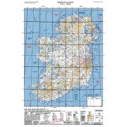
Ireland LAM ICAO Chart 1:500000
Code : 5802
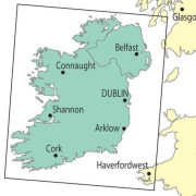
VFR ICAO aeronautical chart for Ireland (1:500,000) with airports, airfields, airspaces, restricted and hazardous zones as well as air safety information. Published by the IAA.
12th edition - Released February 2022
Information refers to lower airspace below Flight Level 245. Features Restricted Airspace and Danger Areas. Shows R/Nav information including NDB, VOR, DME, VOR/DME and TACANs.
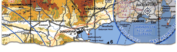
Ireland VFR 1:500 000 ICAO Chart Section
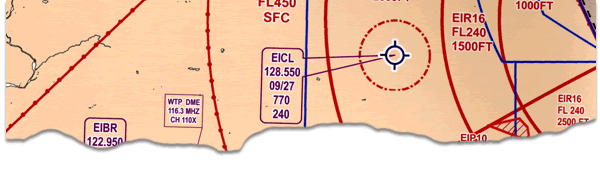
Ireland Airspace 1:500 000 Chart Section